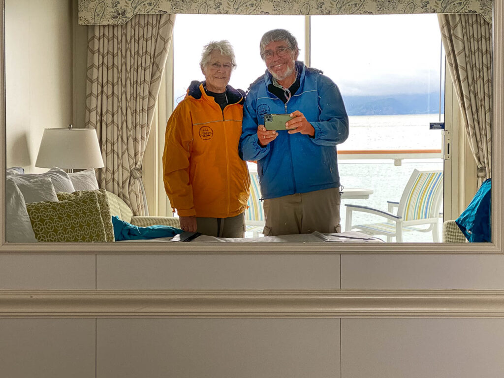
Like Lewis and Clark, today we explored the mouth of the Columbia River and viewed sites occupied by the Corp of Discovery Expedition during the winter of 1805-06. The weather today was cool, mid 50s with a moderate breeze. We’d unpacked some of our warm weather gear before leaving Florida so felt a little underprepared. Not to worry; the Columbia River Maritime Museum in Astoria, conveniently located at our dock, sells nice, insulated jackets. Judy needed one; me, not so much. But one goes for $48, two for $59 so of course we both own one now.
We really shouldn’t complain about the weather. When L&C arrived in November and stayed until late March, they had 12 days without rain; only six of those days had sunshine and of course much colder temperatures. They were wet and miserable the whole time. Their clothing had worn out or been traded to Indians on the trail. They lacked food and would have starved if it hadn’t been for the generosity of local native tribes.
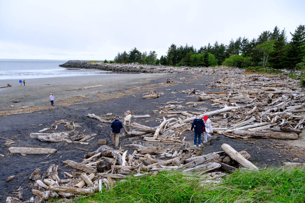
The morning bus ride took us across the river to Washington where the Corp initially prospected for a site on which they could build their winter quarters. We first visited what Clark called Dismal Nitch, a tiny cove with scarcely any land between the river and the steep heavily wooded hill. They were caught there in continual rain because the wind and waves were too strong to permit passage around point Ellice. Today, point Ellice is the terminus of the almost 5-mile bridge between Astoria, Oregon and Washington.
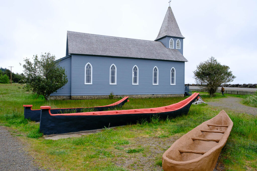
When the weather lifted, Clark moved the Corp around the point to a Chinook summer camp. The Corp took it to be abandoned so tore the buildings down and used the wood to build their own shelters. Later, that site became the home of the McGowan family, who built a town including a church which still stands. McGowans still live in the region.
Lewis and later Clark explored further downriver to the Pacific looking for a site for the winter camp, one with plentiful food (elk and deer), sufficient trees to build shelters and proximity to running fresh water. They failed in their searches but were convinced by Clatsop Indians that conditions on the south shore would better meet their needs.
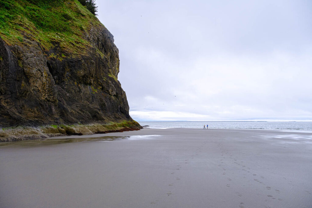
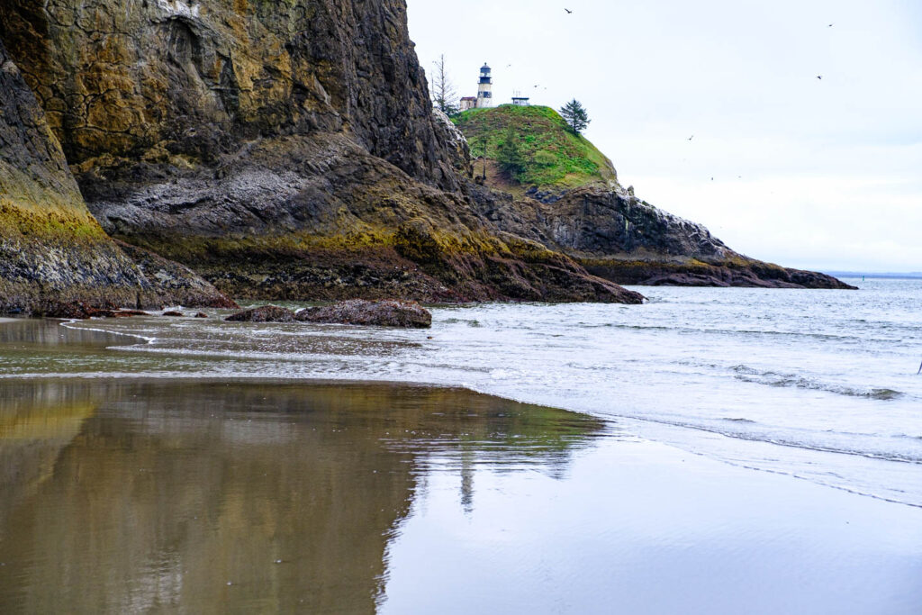
Incidentally, the western most point is called Cape Disappointment. Its name has nothing to do with Lewis and Clark although they must have been disappointed to not have found a suitable site. Rather, it’s so named John Meares, a sea captain searching for the Columbia River. He mistook the mouth of the river for a mere bay and so turned around and sailed back the way he had come. Was he ever disappointed!
As we learned earlier, the Columbia was thought to be the key to the Northwest Passage, an all-water link for which the U.S., French and British searched in vain. It made great logical sense. The Missouri River must originate at the Continental Divide and flow east. The Columbia must originate on the other side of the divide and flow west. Hike a few feet across the divide and you’re home free! As Lewis and Clark learned, there’s a whole bunch of mountains that separate the two. It’s only in the past few years that melting ice in the Arctic region has opened an all-water passage from the Atlantic to the Pacific.
The story of the Chinooks is particularly distressing. They never succeeded in entering a treaty with the U.S. government. Because of that, the U.S. doesn’t recognize the Chinooks as a ‘tribe” and hence they do not receive land and financial consideration. A law passed in 1954 ended U.S. obligations under all Indian treaties. That law has been turned back, restoring compensation for treaties that were abrogated but that didn’t do the Chinooks any good. The Clinton administration recognized the Chinook tribe, but the Bush administration reversed that decision. A lawsuit against the Interior Department is apparently caught up in the change of administrations from Trump to Biden.
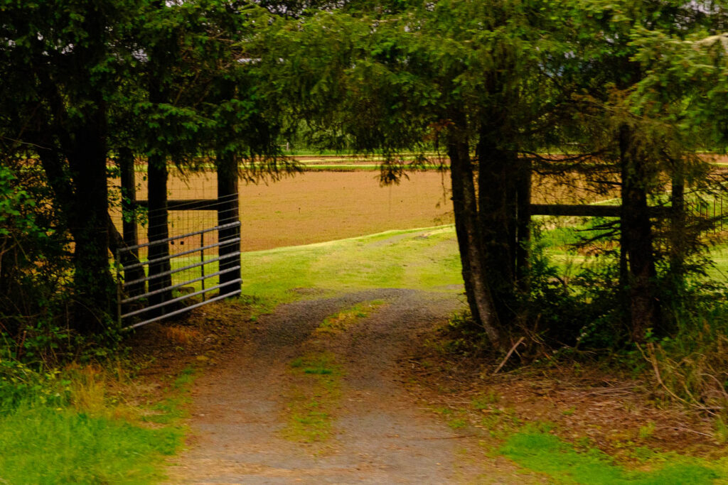
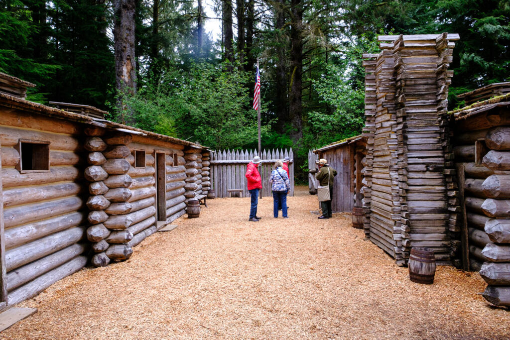
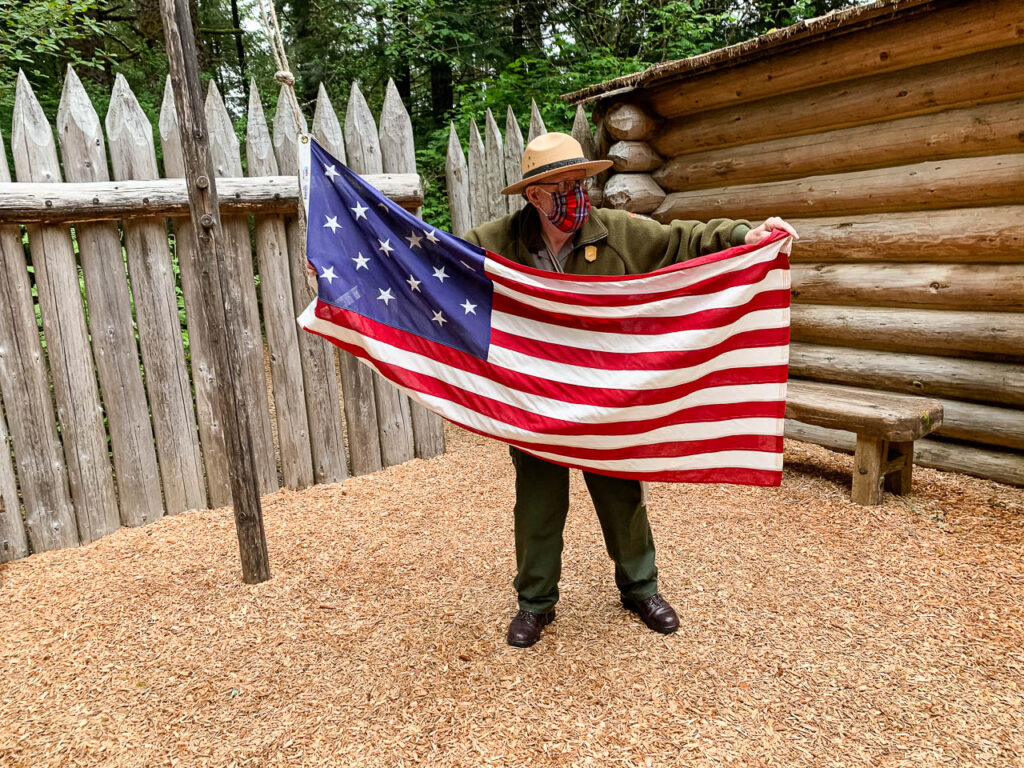
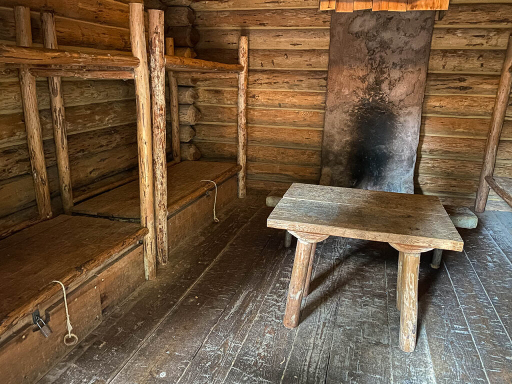
In the afternoon our bus took us to the south shore of the Columbia where the Clatsop tribe lived. There the Corp constructed quarters at what they called Fort Clatsop. There’s a reconstruction of the fort based on a sketch drawn by Clark of the floorplan, but the exact location of the fort and the nature of the building is pure conjecture.
Many of the Corp’s campsites have been located by searching for mercury in the soil. The Corp built their latrines 100 yards from the camp and since mercury was used to treat Corp members for STD, presence of mercury in the latrine gives an idea of where to look for the camp. That technique hasn’t paid off (yet) at Fort Clatsop.
But I promised to refrain from history lessons on this trip and there I go again. Enough.
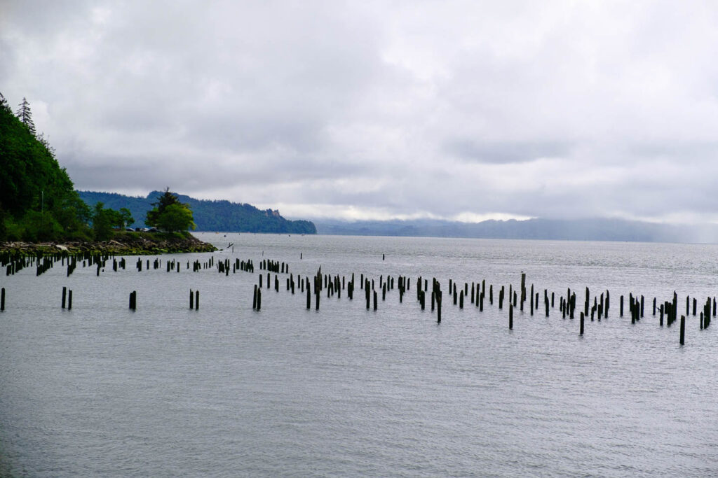
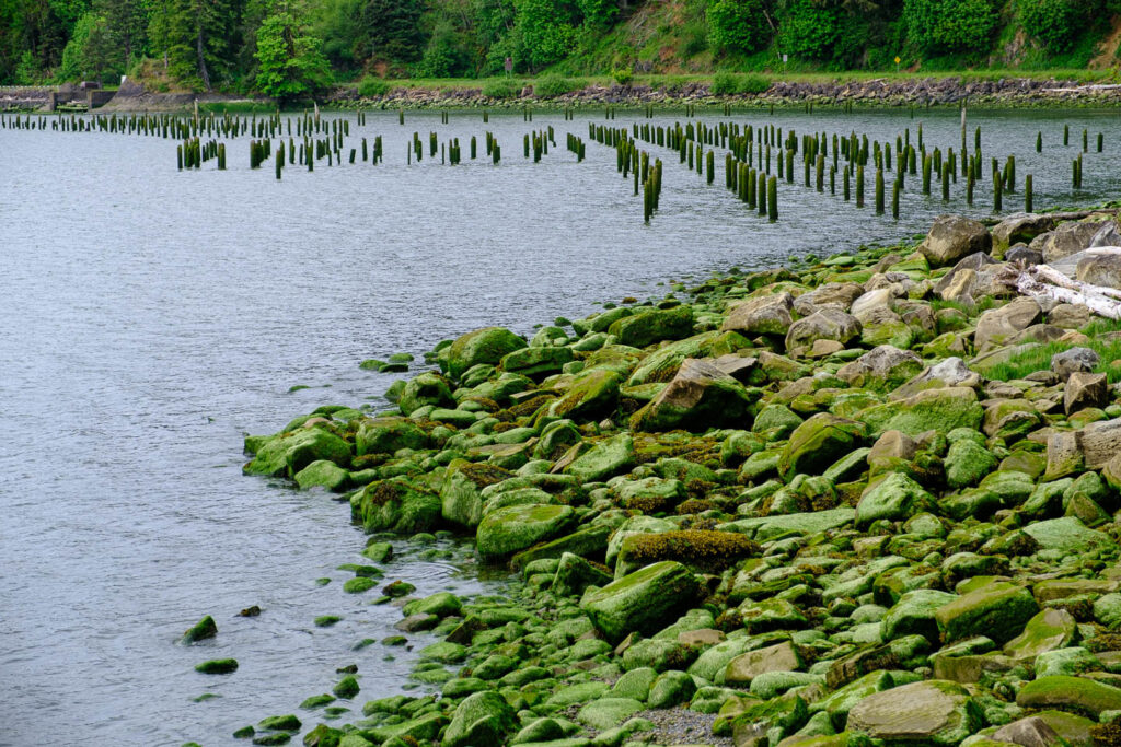
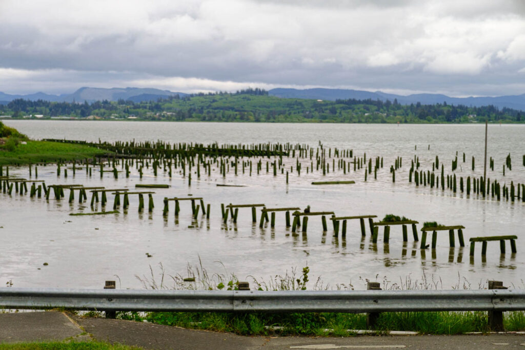
It turns out that the empty freighters we’ve seen anchored in the river are in fact waiting for dock space or for their cargos to be prepared. Containers and log carriers are common. Also, the posts sticking out of the water are in fact old pilings for structures from days gone by. Fisheries, canneries and logging operations were numerous back in the day. Salmon and tuna were big catches. Bumblebee Tuna was canned here. Overfishing and the construction of dams ended the salmon business.
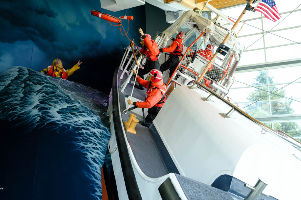
The museum housed several interesting exhibits about the Columbia River. The US Coast Guard operates its training facility for high seas lifeboat rescue crews at Cape Disappointment. The video of actual training runs in 20 to 30-foot waves was unbelievable. The CSCG saves 600 lives or more in this manner.
Now that we’ve done the sightseeing thing, it’s time to go to work and do the cruising thing. It’s 5:45 PM and we’re late for the cocktail party, Dinner starts now too and goes to 7:30. The floor show (a popular ballad duo) starts at 8:30, including an open bar. Tomorrow we’re at sea all day (OK, at river) with no stops. The forecast is mid 60s and a chance of rain so we’re not going to get much work done on our sun tans. Actually, I’ve just stopped peeling from my Florida sunburn.
