Today was a divide and conquer day. I went to the rain forest and Judy went to the zoo to see billabongs, whatever they may be. We’ll get her to tell us in a minute.
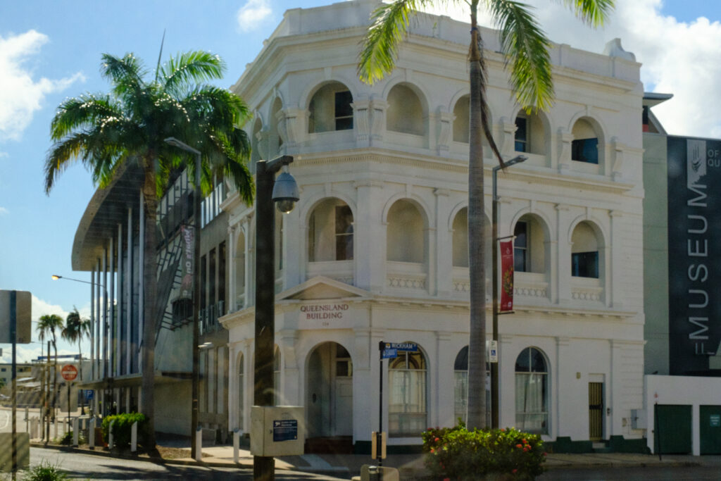
My trip started with a drive through Townsville (named after the European guy named Towns who “discovered” the place). It’s not right to judge a town by a tour bus drive through, but the vibe I got was positive. Lots of modern buildings, great roads, a feel of prosperity. We saw a number of parks, especially along the waterfront. There is an ordinance to preserve historically significant buildings although most of the protected buildings are not much more than 100 years old.
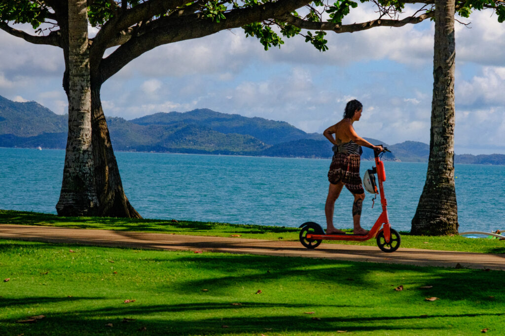
What really struck me was none of this was done for the tourist trade. The parks and so on were done for the people who live here. And you should see the rugby stadium! Go Cowboys! Townsville seems to me to be a very livable place.
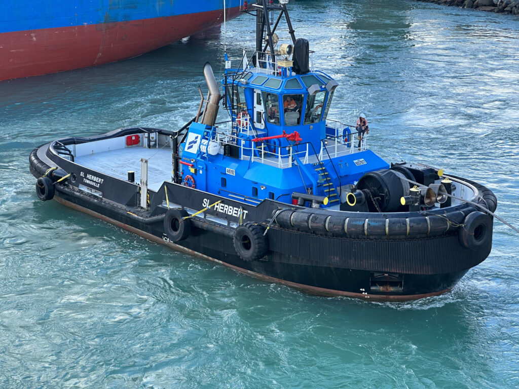
Economically, it does pretty well. There is an active cane sugar industry. Much of the raw sugar is shipped to South Africa, we’re told. Mining for tin, copper and even gold is strong here. And there’s a good harbor to support it all.
From Townsville we headed up the coastal plain on the motorway for about an hour. This is a fast-growing part of the region with lots of new housing going in. Everyone wants to live on the water, crocodile infested though it may be, I guess. At least Florida alligators confine themselves to golf courses and leave the ocean beaches free for tourists. Again, a prosperous looking neighborhood.
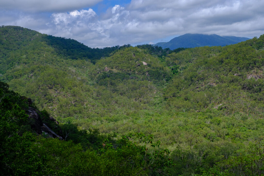
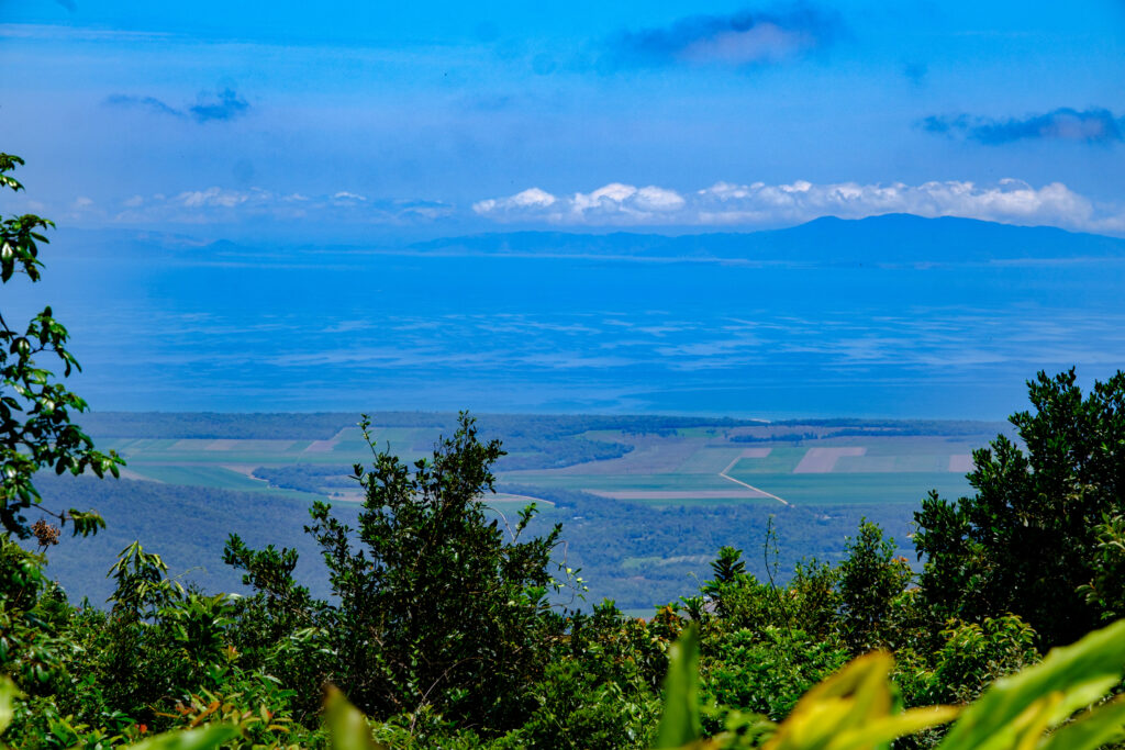
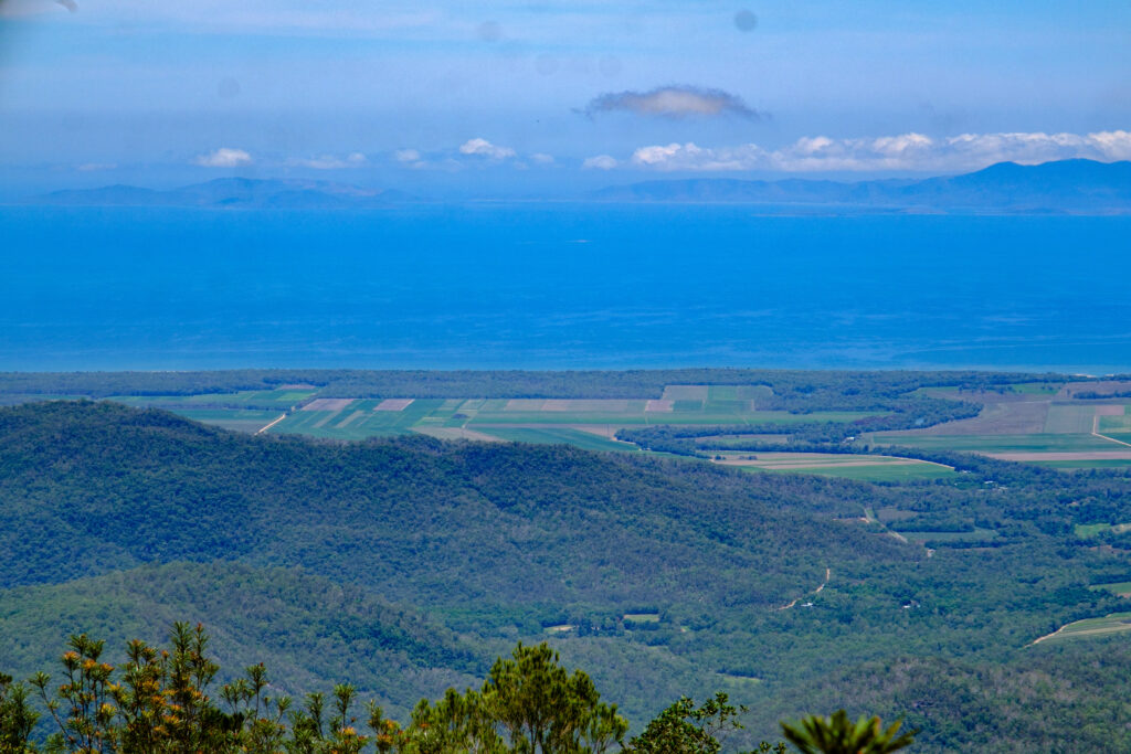
Next, we left the low-lying coastal region and started climbing up into the coastal mountains. Don’t quote me on this, but generally speaking, Queensland can be thought of as a strip of flat land along the ocean, running northwesterly, no more than 50 miles wide. Parallel to the coastal plain is a range of mountains, reaching, I’m guessing, 2,000 to maybe 4,000 feet. Beyond the mountains? Desert for as far as the eye can see. When we go to Alice Springs next week we’ll be on the same desert. If it weren’t for the shoreline, Australia wouldn’t be worth habituating.
What happens is that on-shore breezes rise up the eastern side of the mountains. The uplift wrings the moisture from the clouds in the form of fog and rain. That’s what produces the rain forest in the mountains we visited today. After that, there’s no more moisture, hence desert to the west.
The winding road we traveled up into the forest was built for the harvest of tall trees back 100 years or more ago. Later, it served as a path for telegraph and then telephone and power lines. All along the road one sees palm trees, mangos and other fruit trees that normally wouldn’t grow here. The story is that the workers, Asian, mainly, threw their seeded lunch leftovers into the brush, creating the anomaly we see today.
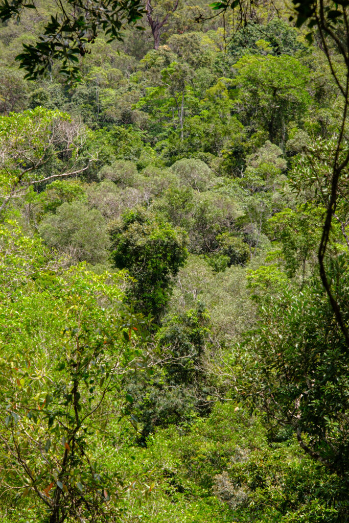
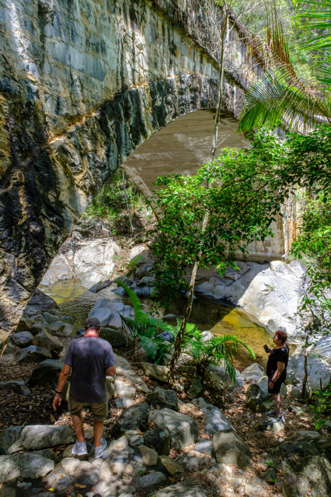
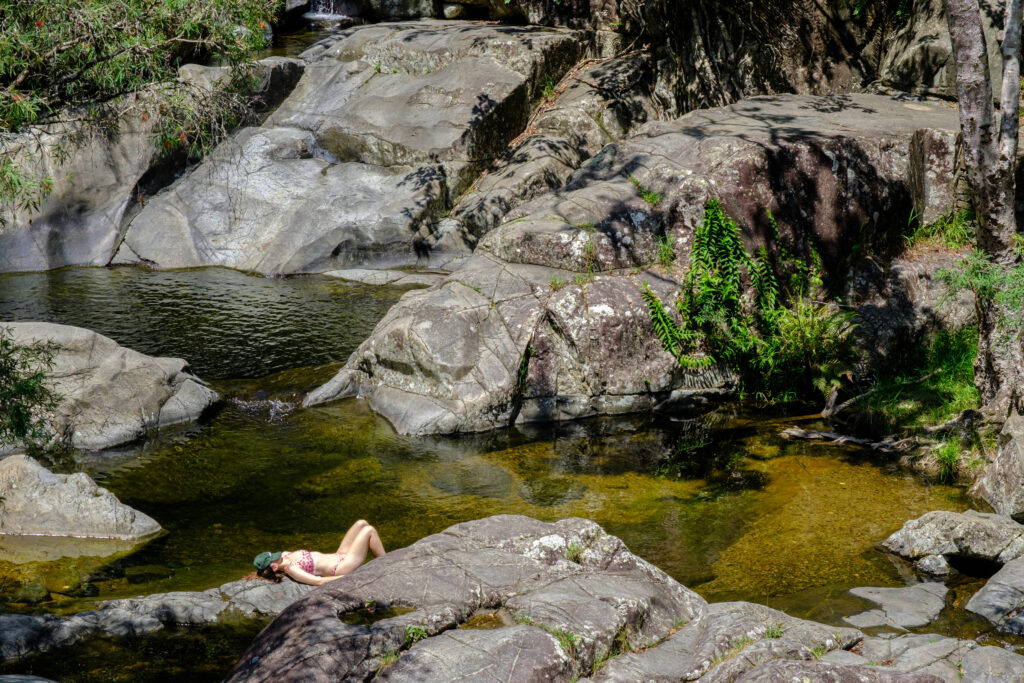
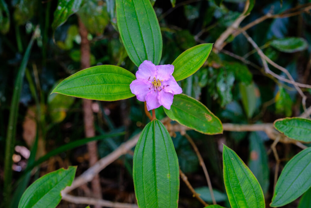
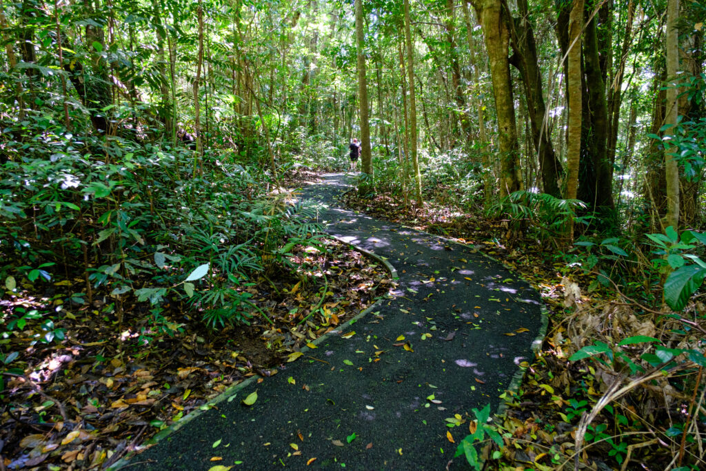
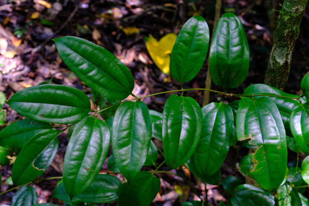
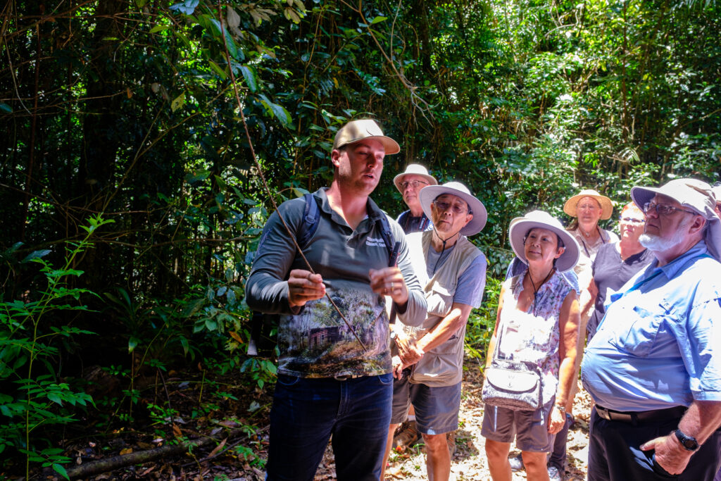
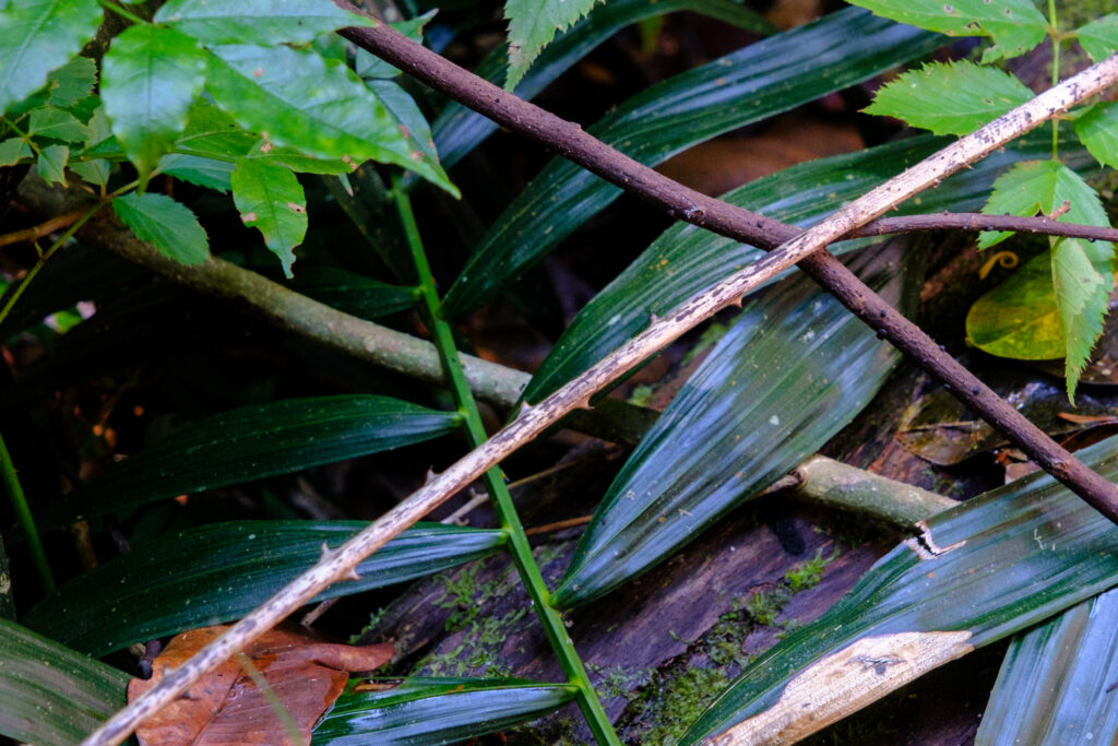
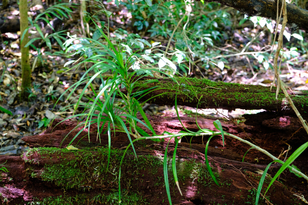
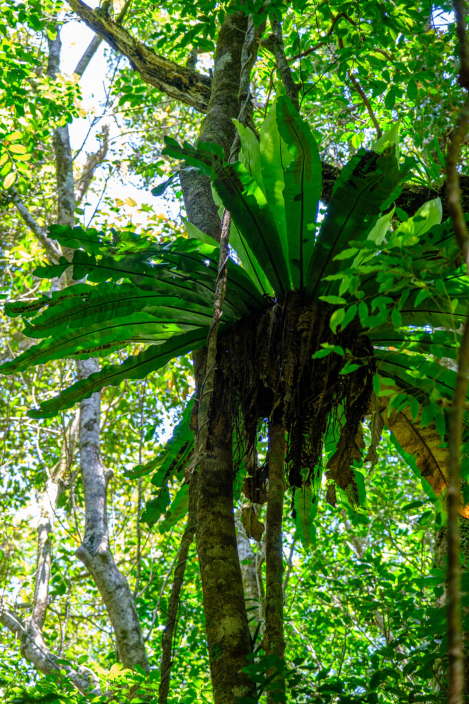
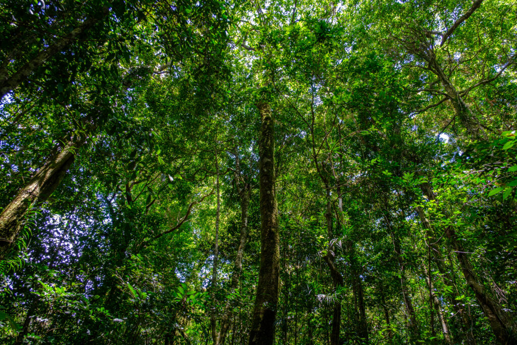
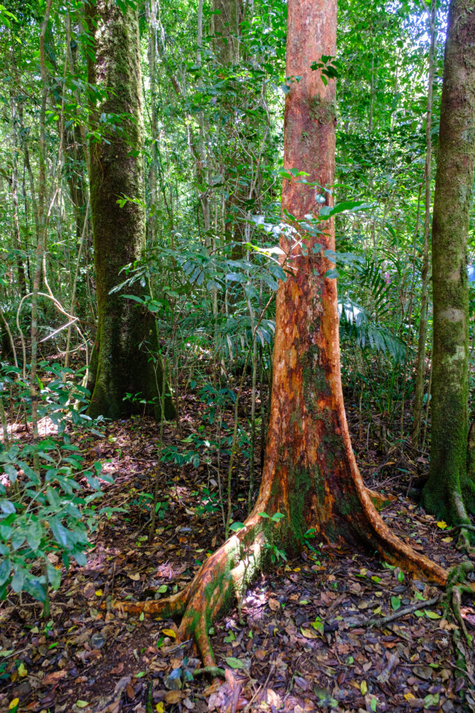
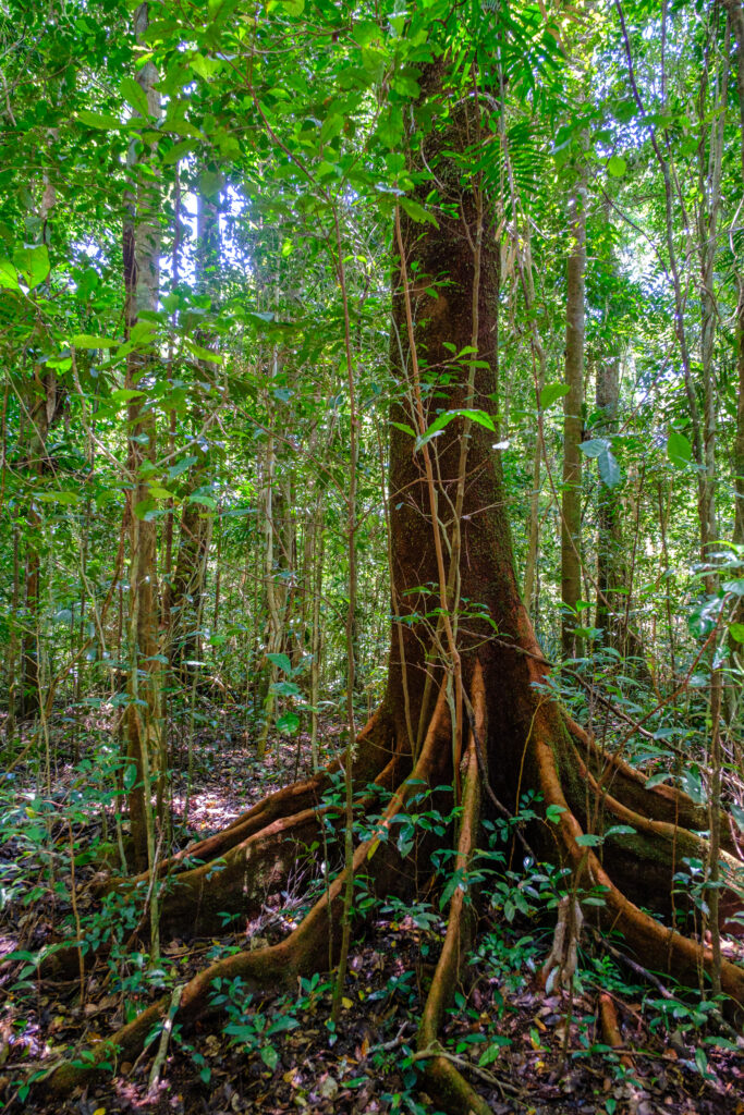
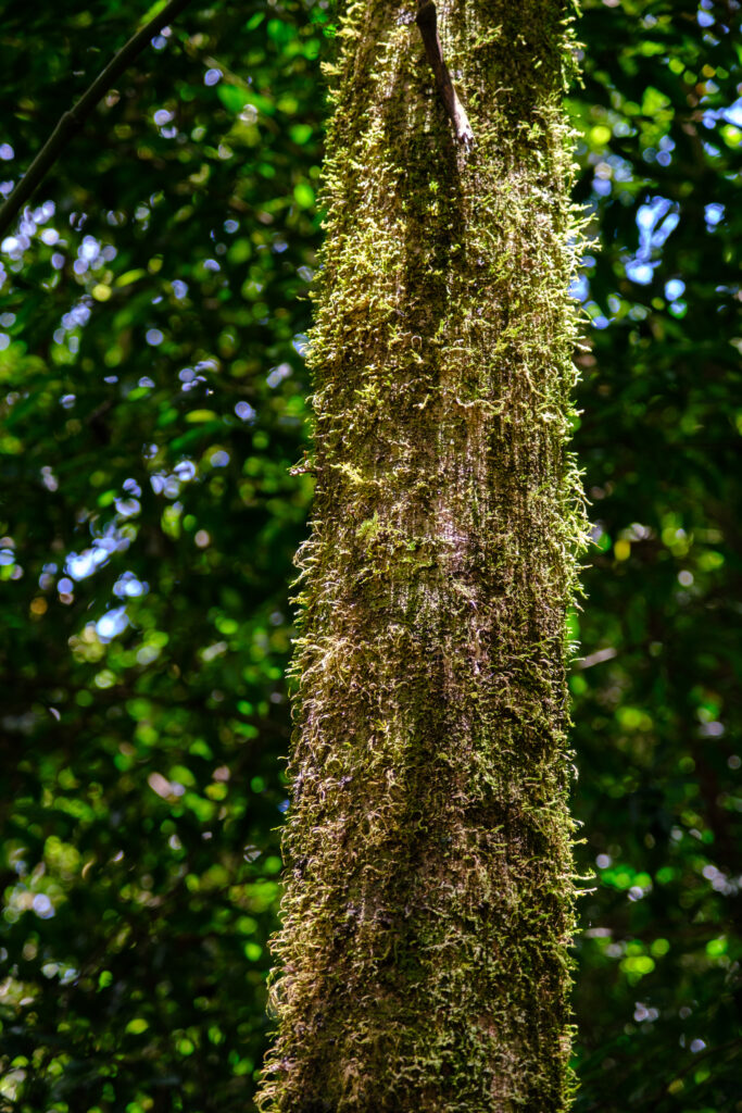
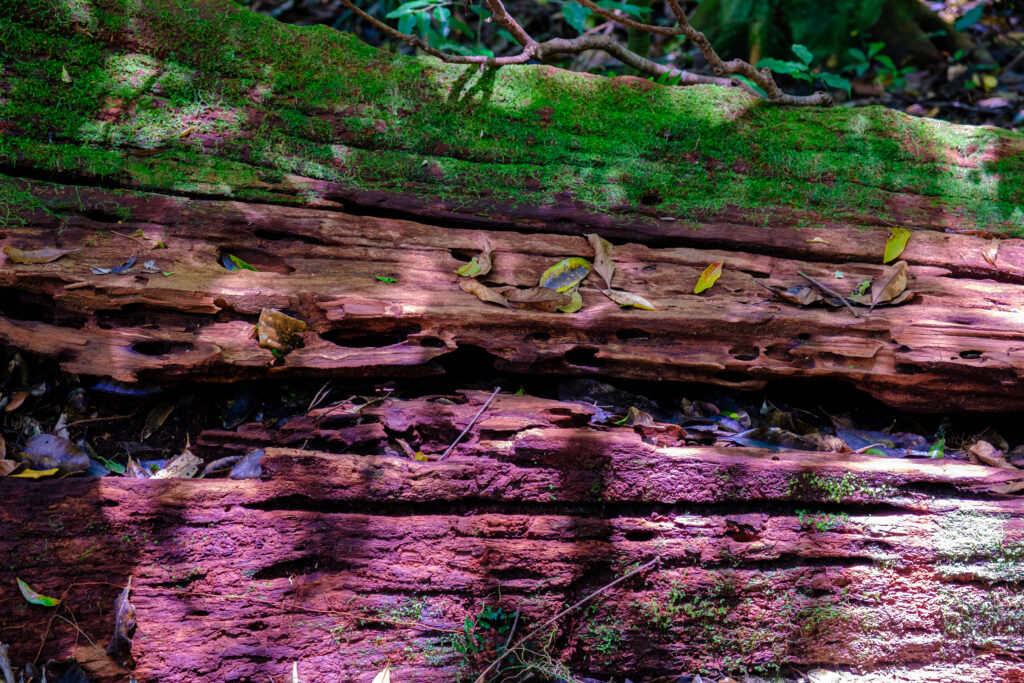
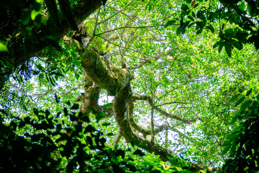
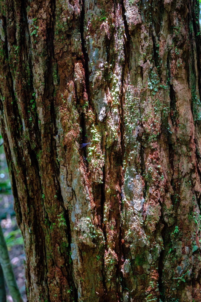
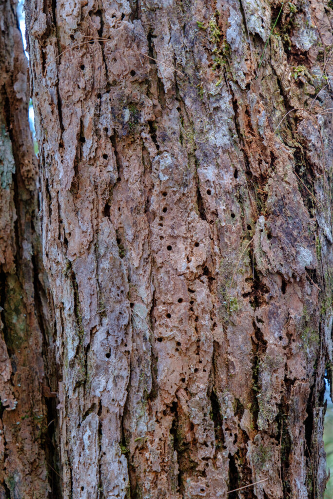
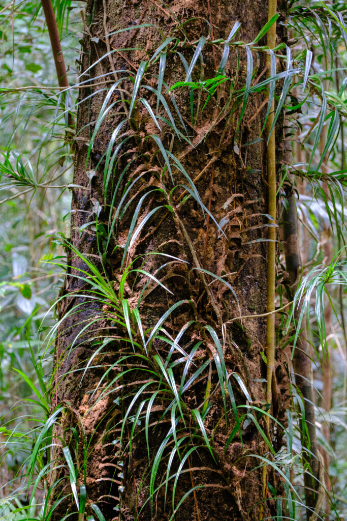
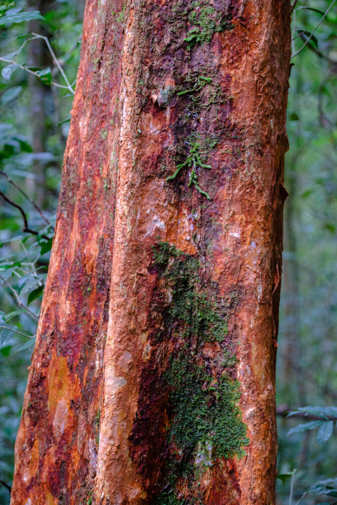
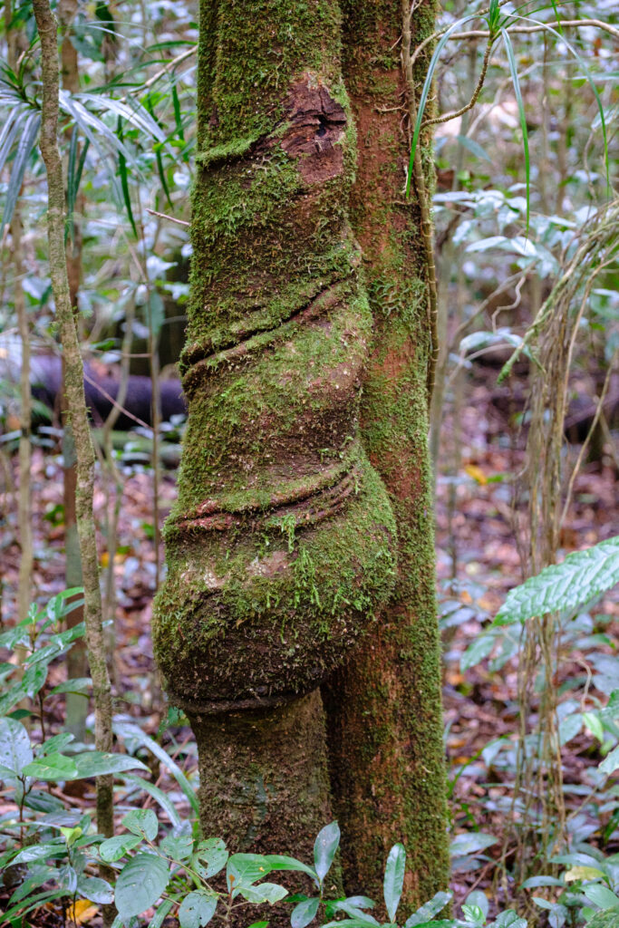
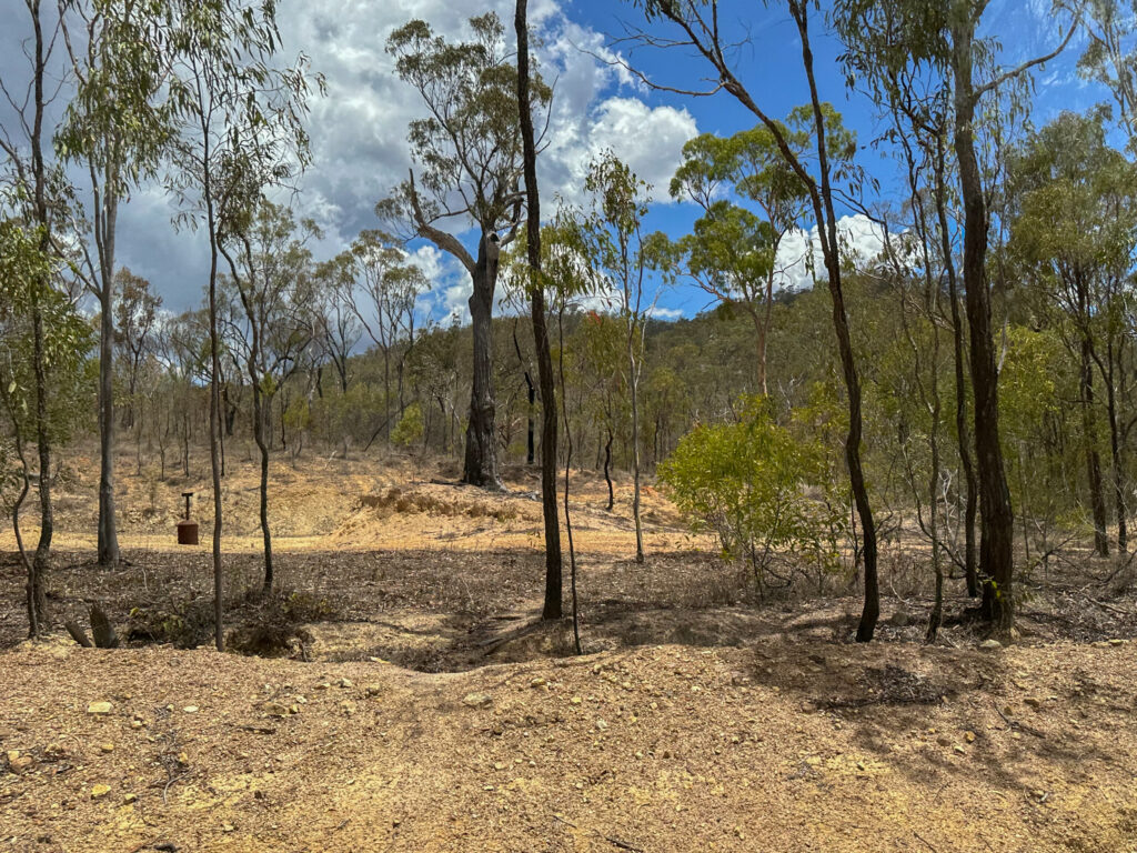
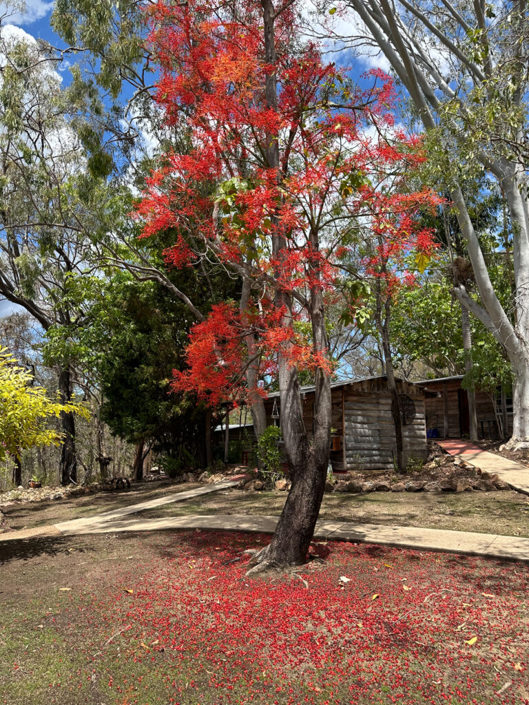
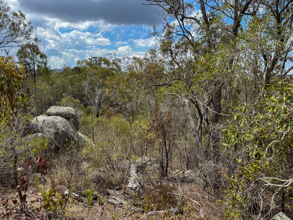
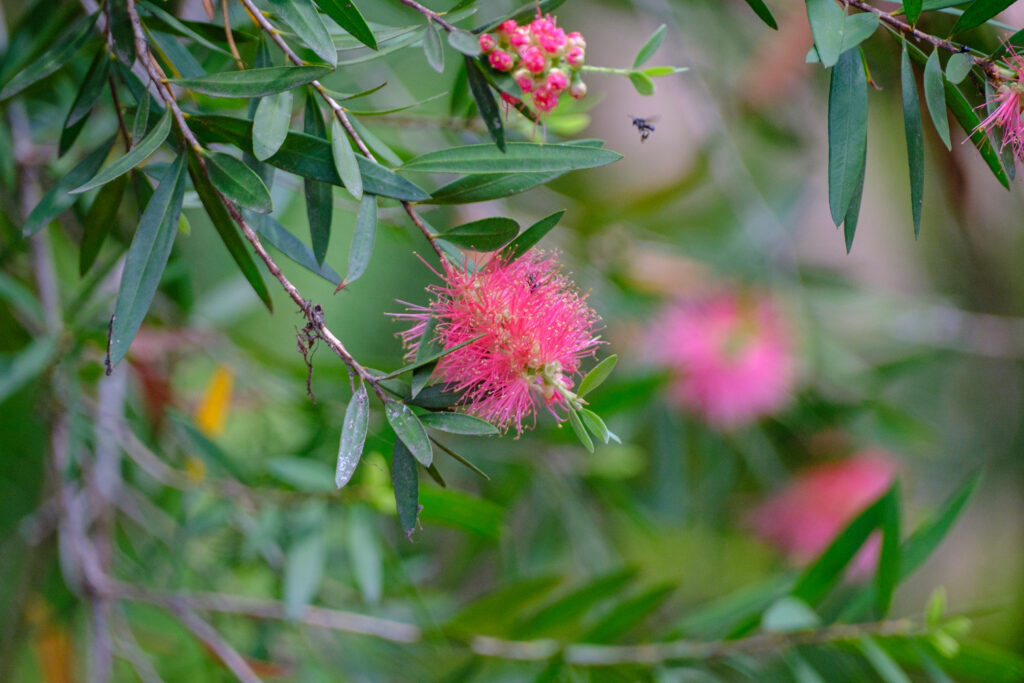
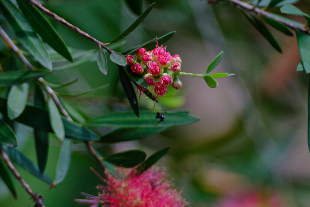
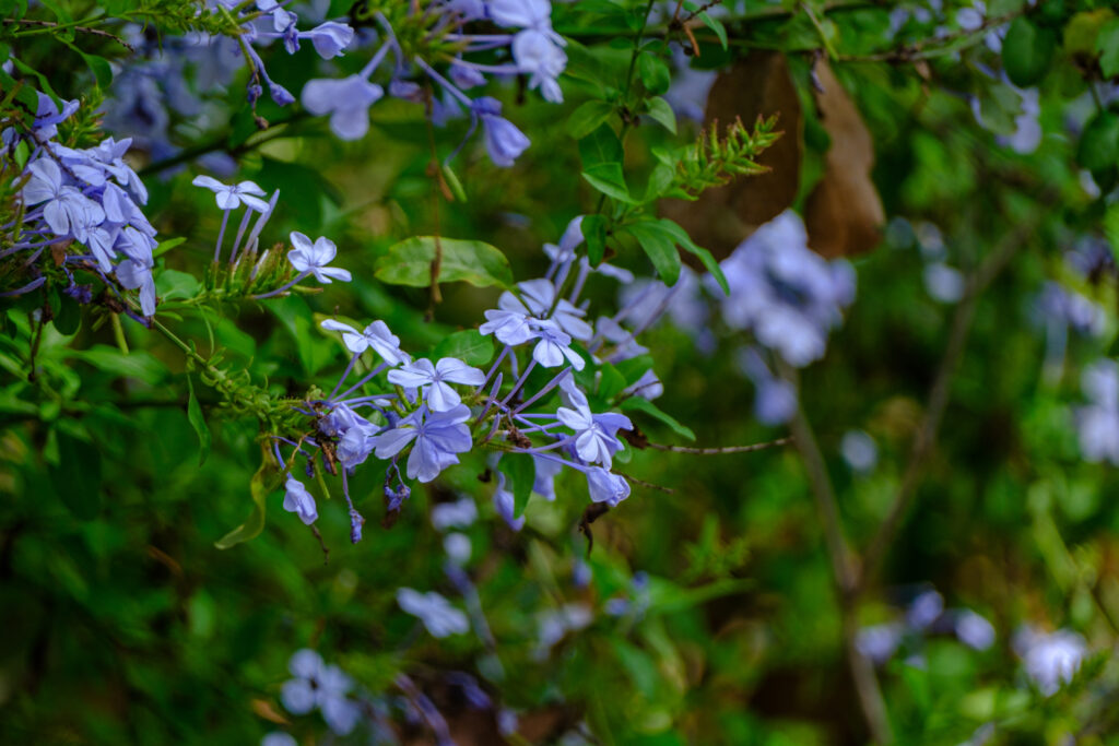
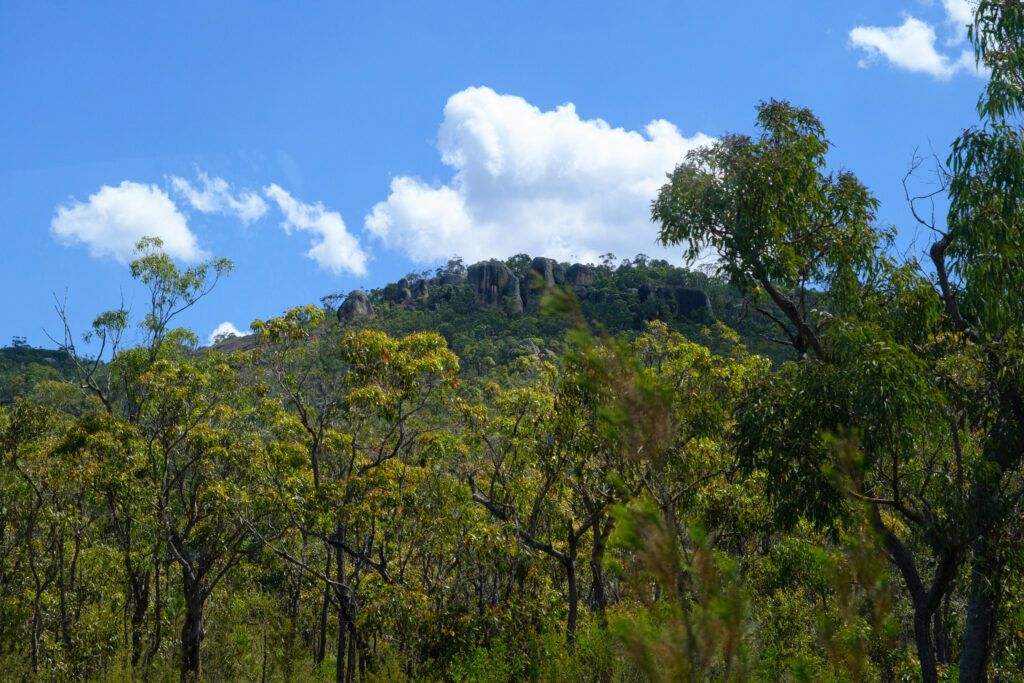
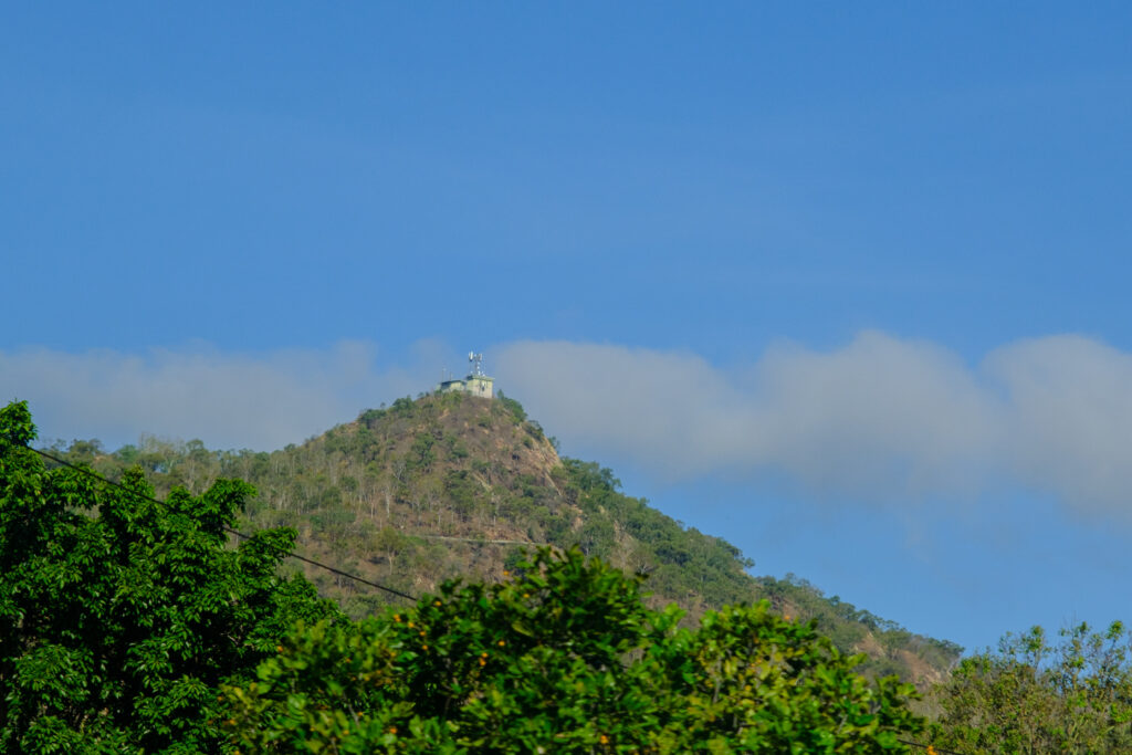
The rain forest, or is it really a cloud forest? is heavily wooded, of course. We saw no wildlife, only trees on our walk and I’ll let the pictures show you what I saw. Believe it or not, it actually started to sprinkle while we walked, so maybe it was a rain forest after all.
One interesting tree, or maybe it’s a vine, is the strangling fig. It winds itself around the host tree, limiting growth of other plants around it and eventually killing the host. We actually saw the same vine in Sarasota, Florida while dining at a stone crab food truck joint.
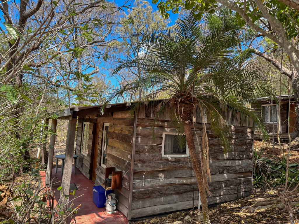
Lunch was at a resort run by a family who lives there and puts on tours like ours. This is the beginning of their season and cruise boats are a big part of their business. Last season they hosted 1,000 students from the U.S. They loved the wilds after, that is, they recovered from lack of connectivity.
We’re back on board, doing our blogging.But the Internet service is slooooow and unreliable. Here posting will have to wait until later. Patience, please!


























As always your written details of your wonderful journey and the history behind each stop is amazing and much appreciated! The photos are top shelf and beautiful! You both have seen and experienced so much of this world, shared it all with us, so a big thanks to you😎🙌